Walk of the month: Rocky Gully Wetland, Murray Bridge
Graham Hallandal suggests a route for you to explore over the school holidays.
This post was contributed by Graham Hallandal.
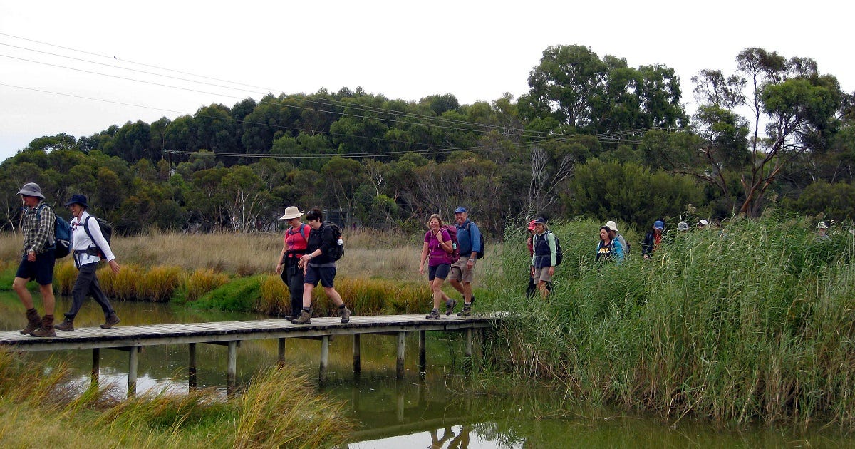
This week there are several options suitable for all fitness levels, several starting points and walk options with distances from 1.8 kilometres to 8km.
The walk described is 4.8km and is suitable for walking, dogs on a lead, cycling, running, wheelchairs and strollers.
The walk commences at Sturt Reserve on the Murray Bridge riverfront between the community club and Riverscape restaurant at the Lavender Federation Trail sign.
Murray Bridge is the trail head for the Lavender Federation Trail, one of this country’s top 10 long-distance trails.
Starting at Sturt Reserve, it stretches 325km before reaching Clare in the Mid North and has an additional 100km of loop and spur trails to nearby towns and attractions.
Most walk short sections, however many, particularly from outside SA, tackle the trail in one continuous walk taking around 20 days.
It connects together the 1200km Heysen, 35km Riesling and 19km Rattler trails, giving 1680km of trails in one seamless walk.
The unique feature of this trail?
It was designed, built and is maintained entirely by volunteers, many being local residents, taking 21 years from commencement to completion.
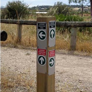
Opposite the Federation Trail information sign is a memorial commemorating Captain Sturt’s voyage down the Murray in 1830.
Walk upstream towards the two bridges, past the community club and the new rowing club building under construction.
In the area there was a milk factory using milk shipped by riverboats from dairies along the river.
The historic wharf and rail yards feature old broad-gauge freight cars and a steam loco, now isolated from the main rail line.
The crane on the wharf has a National Trust plaque.
Signs along this section indicate the location of nine sunken riverboats.
Just before the rail bridge, to the left under cover, is the “Union” milk boat of the 1920s.
It was brought to this location from the South East, where it had been used as a crayfish boat.
Next, we pass under the two bridges.
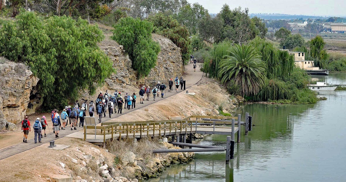
The rail bridge was opened in 1925 with the eastern span of a different shape indicating the main waterway.
Note the 1956 flood level on the upstream side of the cement pylon.
Between the two bridges is the pump house that suppled Murray Bridges water until the Murray Bridge to Onkaparinga pipeline opened in 1973.
The old road bridge, the first to cross the Murray, was built between 1873 and 1879 and once carried rail traffic as well as road.
The impressive building that can be glimpsed on the hillside upstream of the road bridge is the Round House, built in 1873 for the overseer of the road bridge.
In its time it was used for council meetings, a post office, a school, a church and a residence.
A track leads up to the building and gardens.
The trail follows the old broad-gauge rail track past the old River Murray Shipping Company building and old boats including the paddle steamer Colonel.
Built in Echuca in Victoria in 1895, it was used mainly on the Murrumbidgee River.
Look for the trail marker indicating the trail turns 90 degrees to the right to Hume Reserve, named after the Hume Pipe Factory that was located in the area.
Council has recently upgraded this area to prevent four-wheel-drive vehicles vandalising the area, planted hundreds of trees and upgraded the trail.
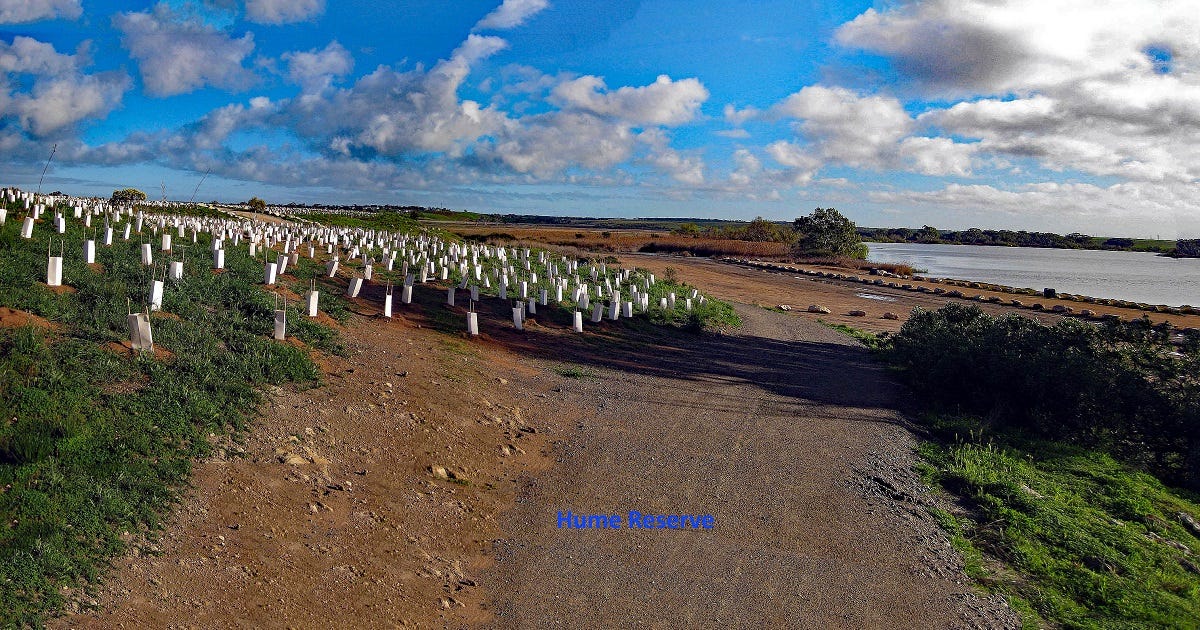
A pedestrian bridge over the Rocky Gully wetlands outlet into the river is crossed onto a levee bank.
At this point a longer trail option commences: the Mobilong Swamp Trail.
This will add 3km to the walk.
Another alternative is to follow the levee bank to the Murray Bridge Pumping Station and return.
Follow the levee bank along the Rocky Gully wetlands outlet over Swamp Road and continue to follow the levy bank and over Preamimma Creek to Thomas Foods.
Continue left across the Rocky Gully Creek pedestrian bridge to Mannum Road.
These wetlands are home to 17 fish and more than 90 bird species as well as tortoises, water rats, frogs and yabbies.
This is another alternative start point for a circuit walk around the wetlands of 1.8km.
Follow the Sanders Walk markers along Mannum Road around the wetlands to Swamp Road, cross the road bridge onto the levee Bank and retrace your steps back to Sturt Reserve.
More information: lavenderfederationtrail.org.au.
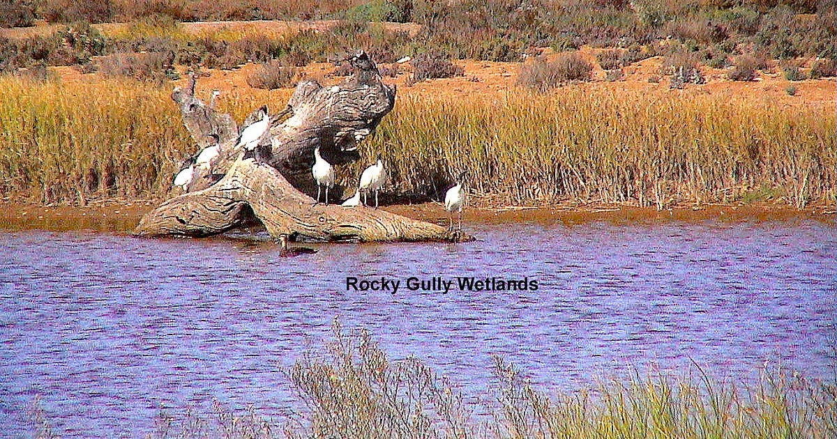
Photos: Graham Hallandal.


We did a section (Monarto end) last week and thought scenery was like the Flinders in spots.